On this page
By Selayar Island Editorial Desk
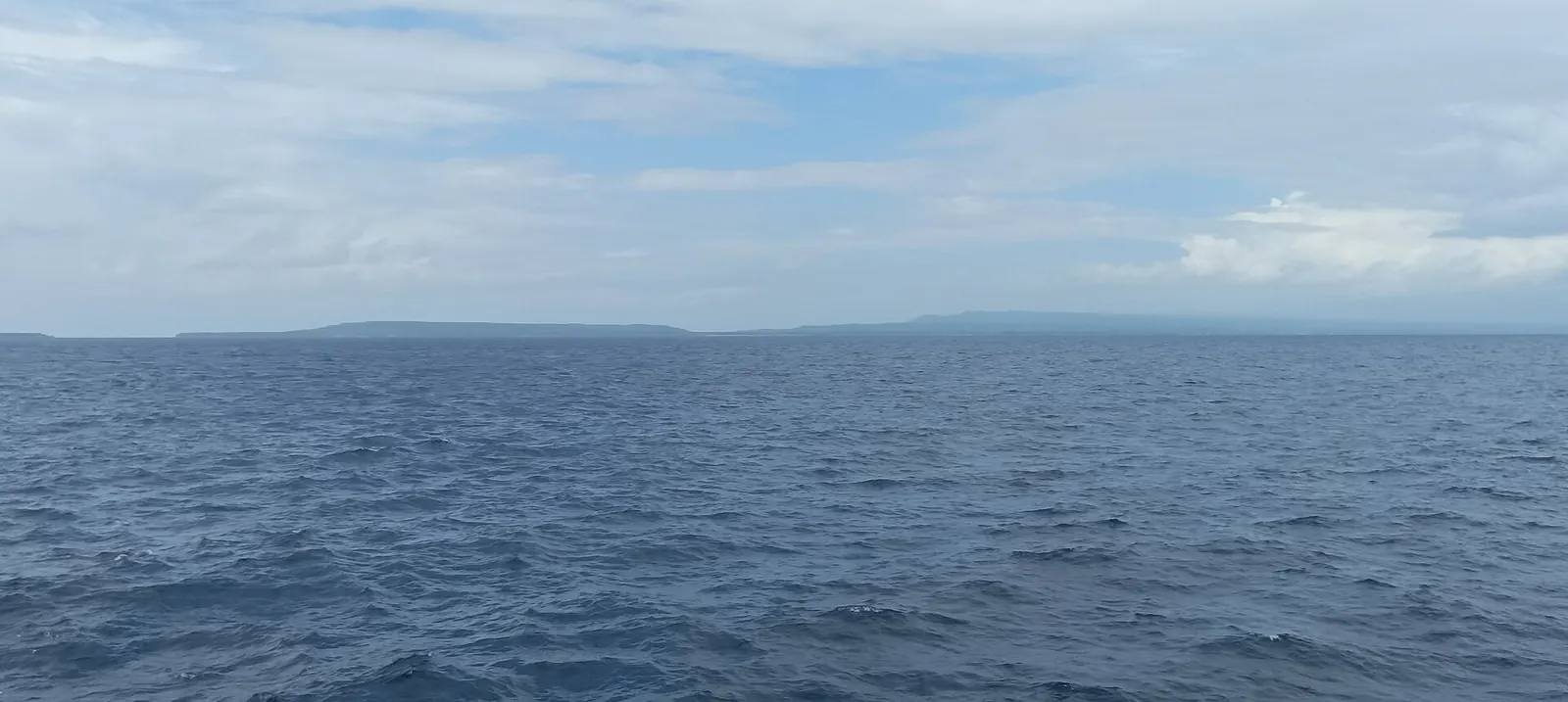
Selayar Island weather swings between a wet peak around January and a very dry spell around August. Sulawesi.com, a tour operator's site citing named datasets, gives January 260 mm of rain and August 14 mm, daytime highs of 28 to 31 C, and sea temperatures of 26.9 to 29.5 C. Its open-sea data shows January as roughest for small boats.
What is Selayar Island weather like?
Warm all year, with rain and sea state changing far more than temperature. The figures below are the ones Sulawesi.com publishes for Selayar on its destination page. It is a tour operator's site, but it names its underlying datasets, which most travel pages on the island do not. We quote only the months below, so the publisher's own table is the place to check the rest.
| Measure | Months the publisher's figures cover here |
|---|---|
| Rain | January 260 mm; August 14 mm; September 41 mm; October 70 mm; November 150 mm; December 204 mm |
| Daytime high | 28 C in July and August; 31 C from October to December |
| Sea temperature | 26.9 C in August; 29.5 C in November and December |
| Time rough for small boats | 20% in January; 18% in February; 0 in May, October and November |
Each column has its own origin, and it helps to know which is which:
| Measure | Dataset named by the publisher | What to keep in mind |
|---|---|---|
| Rain | CHIRPS, 1991 to 2020 | A long-run pattern, not a forecast for your year |
| Air and sea temperature | NASA POWER and NOAA Coral Reef Watch | Regional data, not a reading from one beach |
| Rough share | NOAA WAVEWATCH III | Open sea about 14 km away, not the bays |
This page only reports the numbers. If you are trying to choose dates, our best time to visit Selayar Island page makes that call.
Which months are wettest and driest?
January is the wettest month in that table, at 260 mm, and August the driest, at 14 mm. The figures we quote also show how quickly the rain builds after August: 41 mm in September, 70 in October, 150 in November and 204 in December. November therefore has more than ten times the rain of August, even though some sources still call it a dry-season month.
Published season dates disagree, which is why a monthly figure is more useful than a label:
| Source | Dry season | Also says |
|---|---|---|
| Regency tourism plan | May to November | Rainy season December to April |
| Sulawesi.com travel guide | July to October | Calmer seas April to November |
| Sulawesi.travel guide | April to October | Larger swells November to March |
These are three descriptions from three publishers, and we have not merged them. The regency plan is the official one, the Sulawesi.com guide is the narrowest, and Sulawesi.travel starts earliest. All three agree that the months around August are dry and that the turn of the year is not. In practice, plan for showers from November and for regular rain around January.
How warm is the sea?
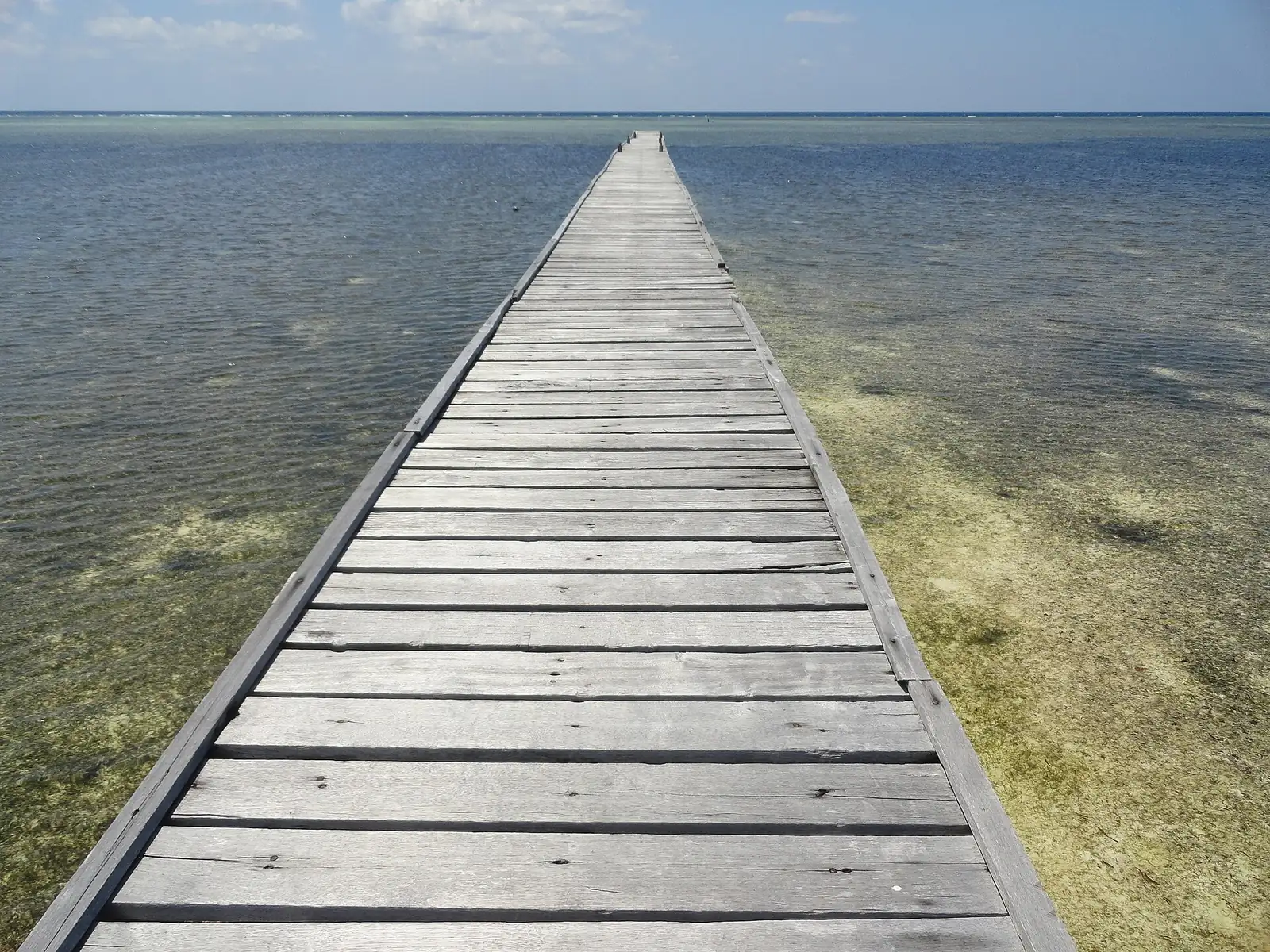
By these figures the sea stays between 26.9 C in August and 29.5 C in November and December, with NOAA Coral Reef Watch among the data cited. Selayar Dive Resort, an operator, gives a constant 26 to 30 C and suggests a 3 to 5 mm suit. Those two statements are compatible, and the operator's is a rule of thumb for its own sites.
Compare that with the air: the daytime high moves only from 28 C in July and August to 31 C from October to December. Neither temperature swings by more than about three degrees across the figures above, so a month chosen for warmth alone makes little difference. Rain and rough water are what separate the months. If you feel the cold in water, the August low is the one to note.
How rough does the sea get by month?
Sulawesi.com's share of time rough for small boats peaks at 20% in January and 18% in February, and is 0 in May, October and November. That is an open-sea measure about 14 km offshore. A sheltered bay can be calmer than that, and a headland in a current can be worse, so read it as a guide to how often the open water turns against a small boat and nothing finer.
Other sources add detail, and some of it does not line up:
- Same publisher, consistent. Sulawesi.com's destination page says the sea is roughest in January and February, and its travel guide says April to November has calmer seas.
- A direct conflict. Sulawesi.travel says larger swells arrive from November to March, while the table shows 0 for November. A swell can arrive without crossing a rough-water threshold, but no source reconciles the two, so we report both.
- Wave heights. The Ministry of Tourism says west-monsoon waves can reach two metres, on a page about Taka Bonerate National Park. Wikipedia says waves around Selayar can reach 4 to 5 m and that services may be suspended at short notice. These are separate statements about different waters and we have not joined them into a range.
- Currents. A diver's report in Underwater Australasia says currents strengthen at full moon. That is one contributor's observation.
Rough water has direct practical effects. The Ministry of Tourism says ferries do not sail when the sea is rough, and our Pamatata ferry port page covers what sources report about sailings. Which side of the island gets the waves shifts with the wind: see Selayar east coast vs west coast for that. Operators' calendars also serve as a rough cross-check. Selayar Eco Resort describes a west-coast site open May to November, for example, which fits a west coast at its most usable in the middle of the year.
Where do you find a live forecast?
This page has no live reading, so go to the national weather agency, BMKG, for today's conditions. It publishes two pages that matter for Selayar:
- The BMKG marine forecast for Selayar waters, with wind, gusts, waves and warnings. Use it for any small-boat day.
- The BMKG port forecast for Pamatata. Use it before you drive to the ferry.
Neither is described as a 14-day outlook, so treat a two-week view on a general weather app as rough guidance only, and check BMKG again close to departure. A workable habit is to read the marine page the evening before a boat trip and again in the morning, and to believe the warning over a clear sky. Local boat crews and ferry staff still make the final decision, and a good forecast does not guarantee a sailing.
One gap to be aware of: we have no monthly humidity series or wind-speed series to give you here. Wind direction by season is described in the coast comparison above, and the rough-share figures are the closest monthly proxy for wind on the water.
What else do people ask about Selayar's weather?
Which month is wettest on Selayar Island?
January, at 260 mm in the table Sulawesi.com publishes from CHIRPS data for 1991 to 2020.
Which month is driest on Selayar Island?
August, at 14 mm in the same table. The regency plan, Sulawesi.com's guide and Sulawesi.travel all include August in their dry season.
What is the sea temperature at Selayar Island?
Sulawesi.com's table runs from 26.9 C in August to 29.5 C in November and December. Selayar Dive Resort gives a constant 26 to 30 C.
How windy is Selayar Island each month?
Wikipedia describes west wind from October to March and east wind from April to September, and the rough-sea share for small boats peaks at 20% in January.
Can you visit Selayar during the monsoon?
Yes, with slack in your plan. Selayar Dive Resort's stated season includes the rainy months, but the Ministry of Tourism says ferries do not sail when the sea is rough.
What is the weather in Benteng Selayar today?
This page carries long-run figures only. For today's sea conditions, use the BMKG marine forecast for Selayar waters and the BMKG port forecast for Pamatata.
Which sources support this page?
- Sulawesi.com: Selayar Island destination page, climate table (tour operator)
- Sulawesi.com: Selayar Island travel guide (tour operator)
- Sulawesi.travel: Selayar Island travel guide (tour operator)
- Selayar regency tourism master plan (RIPPARKAB 2023-2025)
- Selayar Dive Resort: diving
- Selayar Dive Resort: rates
- Selayar Eco Resort: English page
- Ministry of Tourism: Selayar
- Ministry of Tourism: Taka Bonerate National Park
- Wikipedia: H. Aroeppala Airport
- Wikipedia: Selayar Island
- Underwater Australasia: diver's report on Selayar
- BMKG marine forecast: Selayar waters
- BMKG port forecast: Pamatata
How do I reach the desk?
For a question that the forecast cannot answer, write on WhatsApp to +62 811-3941-4563 or email bd@juaraholding.com. We can point you to sources and we cannot promise the weather. Requests can lead to a paid booking, so we have a commercial interest; see the disclaimer.
Send the desk your dates, group size, and what you want to do. The desk replies in writing.
Ask the desk on WhatsApp bd@juaraholding.com