On this page
- Where is Selayar Island on the map?
- How big is Selayar Island?
- What is the difference between the island and the regency?
- How many islands are in the Selayar Islands?
- What is the Selayar Strait?
- What time zone is Selayar in?
- What do readers ask about the location of Selayar Island?
- Which sources support this page?
- How do I reach the desk?
By Selayar Island Editorial Desk
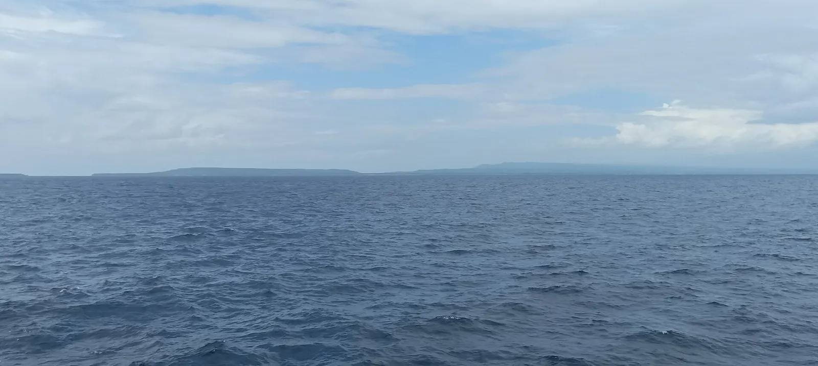
Where is Selayar Island? In South Sulawesi Province, Indonesia, off Cape Bira at the southwestern tip of Sulawesi. The Selayar Straits separate it from the mainland, and Wikipedia places the wider archipelago in the Flores Sea about 150 km southeast of Makassar. Benteng, the regency seat, is its main town and port.
Where is Selayar Island on the map?
Find the long southwestern leg of Sulawesi, follow it to Cape Bira, and look just beyond the end of the peninsula for a thin island running away to the south. That is Selayar Island, written Pulau Selayar in Indonesian. Wikipedia and Britannica both place it off that tip. Wikipedia's archipelago article describes the group as lying between Sulawesi and Flores, and gives the Dutch-era spelling Saleijer.
If a map search comes up empty, try another name. Britannica records Salayar, Selajar and Kabia as alternatives, and Indonesian sources usually write Kepulauan Selayar when they mean the island group or the regency.
| Place | Position, as published | Source |
|---|---|---|
| Makassar | About 150 km northwest of the archipelago; Rome2Rio gives 111 miles to the island | Wikipedia; Rome2Rio |
| Bira | Ferry line to Pamatata of 18 nautical miles | Rubrik.co.id, citing ASDP |
| Benteng | Regency seat and main port, on the western side | Wikipedia; Britannica |
| H. Aroeppala Airport | Bontoharu District, about 7 km from Benteng | Wikipedia |
| Pamatata port | 40 km from Benteng | Regency tourism plan |
The two Makassar figures describe different things, one an archipelago and one a route's distance to the island, so do not treat either as a road or flight planner. For the journey itself, read our guide on how to get to Selayar Island. For the town, see Benteng, Selayar.
How big is Selayar Island?
Roughly 80 km long and under 900 sq km, but the exact answer depends on the source. Wikipedia says over 50 miles (80 km), and the Ministry of Tourism also says 80 km. Indonesia Expat calls it 100 km long. Area figures split too, and neither encyclopedia explains the gap.
| Measure | Figure | Source | Applies to |
|---|---|---|---|
| Length | Over 80 km | Wikipedia | Main island |
| Length | 80 km | Ministry of Tourism | Main island |
| Length | 100 km | Indonesia Expat | Main island |
| Area | 798.58 sq km | Wikipedia | Main island |
| Area | 899 sq km (347 sq miles) | Britannica | Main island |
| Area | 2,000 sq km | Selayar tourism office, undated page | Main island |
| Land area | 1,357.03 sq km | Regency tourism plan | Whole regency |
| Total area | 10,503.69 sq km | Regency tourism plan | Whole regency, with sea |
| Coastline | 670 km | Regency tourism plan | Whole regency |
Do not compare the regency rows with the island rows. The tourism office's 2,000 sq km is larger even than the regency's whole land figure, and its page says nothing of how it was measured, so we would not plan on it. The plan's land figure counts every island in the regency, which is why it runs well above either encyclopedia's number.
Shape matters more than area when you plan a route. Wikipedia describes the island as very narrow at its northern and southern ends, with a central chain sloping steeply to the east coast. Sources also characterise the land differently: the ministry says predominantly rainforest, while Britannica says three-fourths is fertile lowland. Those descriptions may reflect different eras or different definitions; neither source reconciles them.
What is the difference between the island and the regency?
Three names overlap, and most confusion in published figures comes from mixing them:
- Selayar Island is the one main island, the subject of this site.
- The Selayar Islands are the archipelago around and south of it.
- The Selayar Islands Regency (Kepulauan Selayar) is the local government unit that administers them, with its seat in Benteng.
The regency has eleven districts. Six make up the main island: Bontosikuyu, Bontoharu, Benteng, Bontomanai, Buki and Bontomatene. The rest lie on other islands, including Pasimarannu and Pasilambena, which Antara places in the southern islands rather than on the main island.
Population shows why the distinction matters. The official mid-2025 estimate quoted by Wikipedia is 143,580 for the regency and 90,597 for the six main-island districts. A figure of slightly over 123,000 in The Jakarta Post is for the islands in 2016, so it should not be set against the main-island number. The regency dates its anniversary to 29 November 1605, a thread picked up in our Selayar Island history article.
How many islands are in the Selayar Islands?
Either 73 or about 130, depending on the source. Wikipedia counts 73, and The Jakarta Post describes 73 islets. The regency's tourism master plan says about 130, and WWF-Indonesia also says 130. Neither camp explains how it counts. Quote a number only with its source.
Britannica names the other main islands of the group as Pasi, Bahuluang, Pulasi and Tambulongang. Spellings shift between sources: the regency's own lists write Polassi and Tambolongan. Two of the smaller islands have their own pages here, Pasi Gusung Island and Bahuluang Island.
What is the Selayar Strait?
It is the channel between Selayar and the Sulawesi mainland, and the reason the island has mattered to shipping. Wikipedia, in text derived from the 1911 Britannica, says the strait is more than 100 fathoms deep with a strong current. Treat that as an old description rather than a modern chart reading, and never as navigation advice.
Kompas quotes a maritime historian saying spice ships bound for Maluku had to pass the Selayar Strait as the safest route, stopping for water, supplies and repairs. Today the ferry line from Bira to Pamatata crosses the same water.
A naming note: WWF-Indonesia describes the islands as flanked by the Makassar Strait to the west and the Flores Sea to the east. Wikipedia uses Selayar Strait for the narrower channel next to the mainland, sometimes in the plural. These are not necessarily in conflict, because one source is naming the wider water and the other the channel.
What time zone is Selayar in?
Selayar runs on UTC+8, and the area code is +62 414, according to Wikipedia's regency article. Rubrik.co.id quotes ferry times in WITA, the Indonesian label for that zone, so a timetable marked WITA needs no conversion once you are on the island.
What do readers ask about the location of Selayar Island?
How large is Selayar Island?
Wikipedia gives 798.58 sq km and Britannica gives 899 sq km. For length, Wikipedia and the Ministry of Tourism say 80 km, while Indonesia Expat says 100 km. Larger regency figures cover all of its islands.
Is Selayar Island near Makassar?
Fairly near on a map, less so in travel time. Wikipedia puts the archipelago about 150 km southeast of the city. Rome2Rio shows no direct ferry, although the regency tourism office reported an overnight DLU ship to Benteng from 2021, so check that sailing before you choose between it, a flight, and road plus ferry.
Is Selayar Island near Cape Bira?
Yes. Wikipedia places it off Cape Bira, and Rubrik.co.id reports the ferry line from Bira to Pamatata as 18 nautical miles. That is the shortest published sea link between the island and the mainland here.
Which sea surrounds Selayar Island?
WWF-Indonesia describes the Makassar Strait to the west and the Flores Sea to the east. Wikipedia places the archipelago in the Flores Sea and names the Selayar Strait as the channel by the mainland.
Where is Benteng on Selayar Island?
On the western side. Britannica names Benteng as the main port and Wikipedia as the regency seat. The airport is about 7 km away and Pamatata ferry port is 40 km away on the regency plan.
Is Selayar Island in the Banda Sea?
Not on the published descriptions. Wikipedia places the archipelago in the Flores Sea, and WWF-Indonesia names the Flores Sea to the east and the Makassar Strait to the west.
Which sources support this page?
- Wikipedia: Selayar Island
- Britannica: Selayar
- Wikipedia: Selayar Islands
- Rome2Rio: Makassar to Selayar Island
- Rubrik.co.id, September 2026
- Wikipedia: H. Aroeppala Airport
- Indonesia Ministry of Tourism: Selayar
- Indonesia Expat: sea turtles and Selayar
- Wikipedia: Selayar Islands Regency
- Antara, December 2021: Flores Sea quake
- The Jakarta Post, April 2016
- Selayar regency tourism master plan (RIPPARKAB 2023-2025)
- WWF-Indonesia: Selayar at a glance
- Kompas, November 2023: spice route traces in Selayar
- Selayar tourism office: about Selayar
How do I reach the desk?
Found a figure that contradicts this page, or planning around a location question? Send it to bd@juaraholding.com or WhatsApp +62 811-3941-4563, with a link if you have one. This site is a travel guide with a request desk, and desk requests can lead to paid bookings, so we have a commercial interest. No arrangement exists until you accept a written offer naming the fee, the price and the contracting company.
Send the desk your dates, group size, and what you want to do. The desk replies in writing.
Ask the desk on WhatsApp bd@juaraholding.com